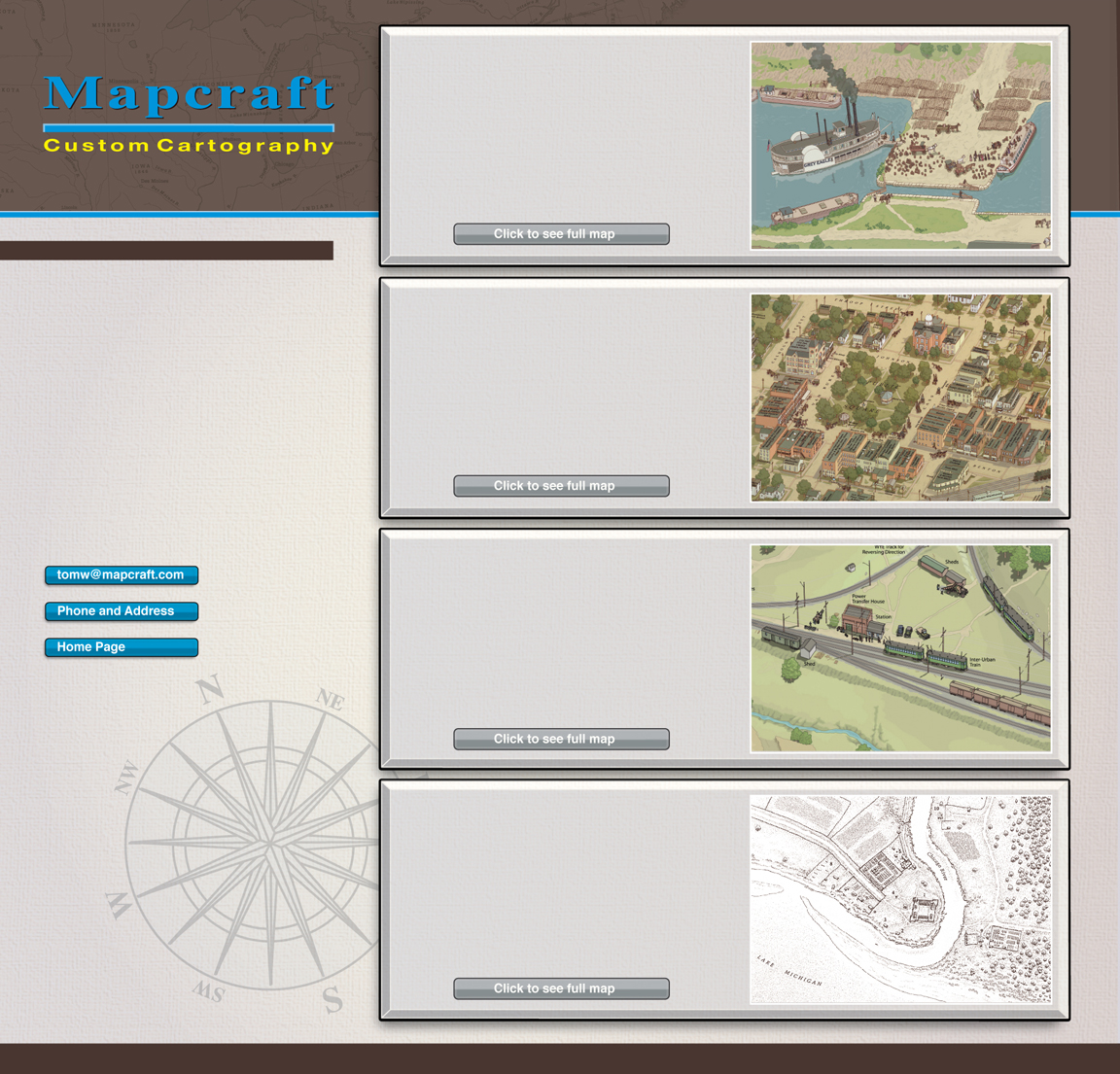
Perspective views offer a marvelous vehicle for portraying the history of a community. The aerial view can show grain elevators, shipyards, train depots, lumber mills, rivers, farm fields and commercial centers. The views on this page range in detail from illustrating individual sites of historic interest to very elaborate and detailed townscapes.
Historical Views
This detail from a very large wall mural shows the Illinois & Michigan Canal at its terminus in LaSalle in the 1850s. The view shows all the steamboats, canal craft, railroads, structures and businesses that were so integral to this busy inland canal port. The mural is featured at the new Orientation Center for a working canal boat.
I&M Canal at LaSalle Illinois
This is a detail from a much larger perspective poster showing this historic community and county seat in north central Illinois circa 1902. The view was sold at retail establishments in Woodstock and McHenry County, with printing costs sponsored by businesses in Woodstock.
This view was created for a Washington, DC area rails to trails project to show a significant landmark along the bike and jogging path as it would have appeared in the 1920s when it was an electric rail commuter station.
Bluemont Station Maryland
Woodstock Illinois in 1902
This illustration is from Historic Illinois from the Air, a book published by the University of Chicago Press that explores the history of Illinois via aerial photography and hand drawn illustrations. The project earned the JB Jackson Prize for Geography from Rutgers University and was named as a State of Illinois gift book.
© Mapcraft Custom Cartography • www.mapcraft.com • 731 Margaret Drive Woodstock Illinois 60098 • email tomw@mapcraft.com • phone number 815 337 7137
\
Chicago Illinois in 1829

